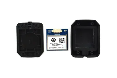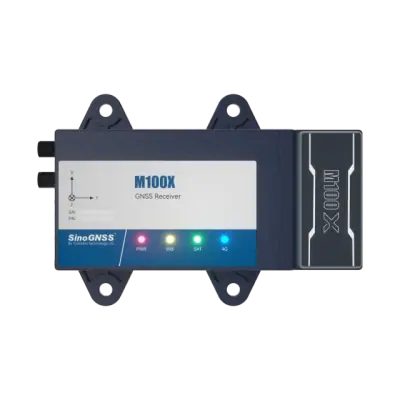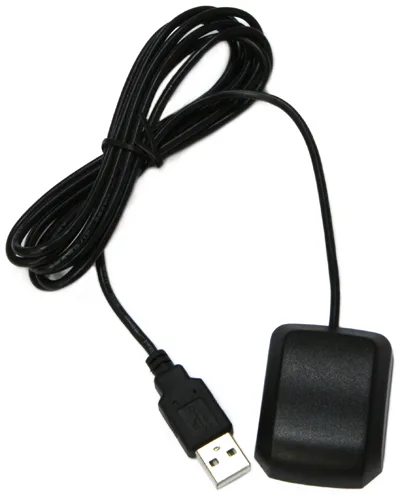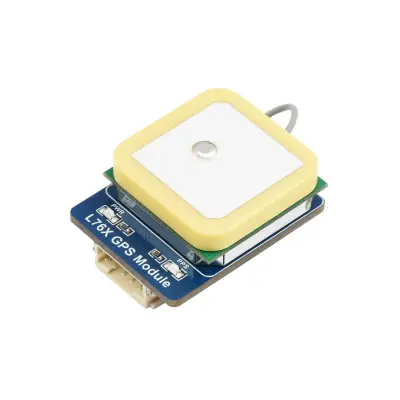


RCB-100
Survey GNSS Receivers
GNSS timing receiver carrier board, L1/L5 dual-band · Ref. : RCB-100

Price on request

Surveying and ground monitoring need centimetre positions. RTK GNSS receivers used as base and rover, or RTK modules built into equipment, provide them.
Architecture
From the field to the uplink: each role of the chain and the product families that fill it.
This is an architecture pattern, not a certified reference design. Verify every interface, rating and certification in the datasheets.
Products
Survey GNSS Receivers
GNSS timing receiver carrier board, L1/L5 dual-band · Ref. : RCB-100
Price on request
GPS Modules
PCIe Mini Card GNSS module with accelerometer and dead reckoning · Ref. : VDB-810DR
Price on request
GPS Modules
GNSS Location Module u-blox ZOE-M8Q I2C · Ref. : 110016
Price on request
GPS Modules
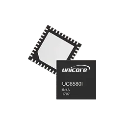
Dual-frequency multi-constellation GNSS module L1/L5, 96 channels · Ref. : UC6580
Price on request
Survey GNSS Receivers
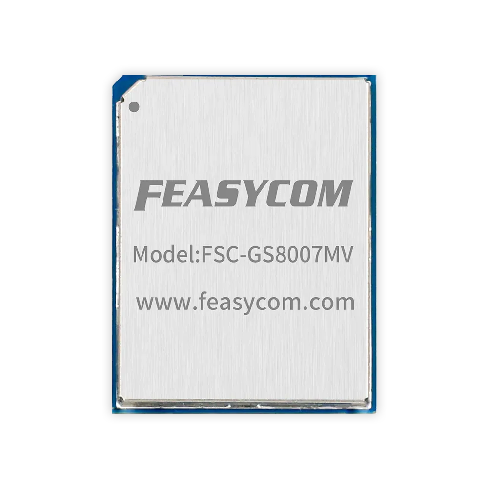
L1+L5 dual-band GNSS receiver module AG3335MA · Ref. : FSC-GS8007MV
Price on request
Survey GNSS Receivers
GNSS RTK Receiver with Integrated Laser Measurement · Ref. : V600L
Price on request
GPS Modules
Low-power multi-constellation GNSS module · Ref. : L76K
Price on request
GPS Modules
GPS Receiver Module UBX-G7020 with Enclosure, 1-10 Hz · Ref. : TEL0094
Price on request
Survey GNSS Receivers
2W 410-470 MHz Radio Survey GNSS Receiver Kit · Ref. : DAVID-GNSS-RECEIVER-ROVER-KIT-2W
Price on request
GPS Modules
Multi-constellation GNSS module with IST8310 compass and DroneCAN bus · Ref. : UNIGNSS-M10
Price on request
GPS Modules
Dual-Band Multi-GNSS RTK Positioning Module · Ref. : MGB390-AR
Price on request
GPS Modules
Ultra-compact multi-constellation GNSS module with NMEA 0183 output
Price on request
Survey GNSS Receivers
Multi-constellation CORS GNSS reference station receiver · Ref. : M300
Price on request
GPS Modules
4G Module PCI Express Mini Card 1.2 with GPS · Ref. : CLM920_FB5
Price on request
GPS Modules
USB GPS Module with Patch Antenna
Price on request
GPS Modules
Multi-GNSS module, GPS, BDS, GLONASS, QZSS · Ref. : L76K
Price on request
GPS Modules
GNSS Positioning Sensor Module · Ref. : BT-B482
Price on request
GPS Modules
GNSS module in LCC package · Ref. : GNSSMODULE82
Price on request
GPS Modules
Multi-mode GNSS module BDS/GPS/GLONASS RS232 · Ref. : E108-GN03G-TTL
Price on request
GPS Modules
Multi-constellation CAN GNSS module with built-in compass · Ref. : NEO-4-SE-EN
Price on request
Survey GNSS Receivers
Multi-constellation survey GNSS antenna with multi-point feeding · Ref. : GNSS-ANTENNA-GPS500
Price on request
GPS Modules
Marine GPS AIS tracking buoy identifier for vessels · Ref. : XC049
Price on request
Survey GNSS Receivers
Dual-antenna RTK GNSS receiver for heading and positioning · Ref. : T1T2
Price on request
Survey GNSS Receivers
High-precision multi-constellation GNSS positioning receiver · Ref. : DT-BD100
Price on request
Industries
Documentation and resources
Before choosing
No advertising or analytics cookies. A single, strictly necessary cookie is set only if you sign in to your account. Your quote basket and comparison stay in your browser. Details