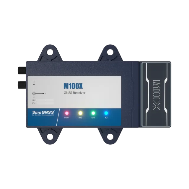
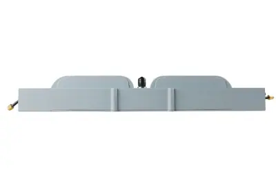
ComNav M100X. GNSS+INS receiver for high-accuracy vehicle positioning and heading, combining a GNSS positioning module and a high-performance IMU module.
Positioning performance. Multi-constellation and multi-frequency tracking: GPS L1C/A, L2C, L2P; BDS B1l, B2l, B2b, B3l; GLONASS G1, G2; GALILEO E1, E5b; QZSS L1C/A, L2C; SBAS L1C/A; PPP L-Band. Standalone accuracy of 1.5 m 3D RMS, single baseline RTK of 8 mm + 1 ppm horizontal and 15 mm + 1 ppm vertical, RTK initialisation under 5 s for baselines up to 10 km. Heading accuracy of 0.15°/R, roll/pitch of 0.25°/R, velocity of 0.02 m/s or less.
Inertial measurement. IMU with gyroscope range of ±500°/s and accelerometer range of ±8g; gyroscope zero-point offset of 2.2°/h (X), 2.7°/h (Y) and 1.6°/h (Z). The GNSS+INS algorithm maintains continuous positioning during satellite signal interference or loss, notably in partially obstructed areas.
Data output and connectivity. NMEA-0183 output (GSV, RMC, HDT, GGA, GSA, ZDA, VTG, GST, HEADING, GPYBM) and INS data 2364 and 2365, at output rates from 1 Hz to 100 Hz depending on the source; TCP/IP, Ntrip and JT808 protocols; RTCM2.X and RTCM3.X correction data input and output; 10/100 Mbps LAN, USB 2.0, Bluetooth 4.1. 8 GB memory.
Power and environment. DC 9-36 V supply, power consumption below 5 W. Operating temperature from -40 °C to +75 °C, storage from -55 °C to +85 °C. IP67 protection rating and survives a 1 m drop. Aluminium alloy housing measuring 151.2 × 103.7 × 27.9 mm, weighing under 300 g.
Typical uses. Vehicle positioning and heading in complex environments such as urban canyons, city overpasses, underground garages, tunnels and parks. High dynamics supported by data update rates up to 50 Hz in NMEA and 100 Hz from the IMU, for airplane, train and car applications.
Integration. Interfaces comply with vehicle standards, simplifying integration with onboard devices and systems; the Navigation Master app supports configuration, and the multiple data interfaces support secondary development.