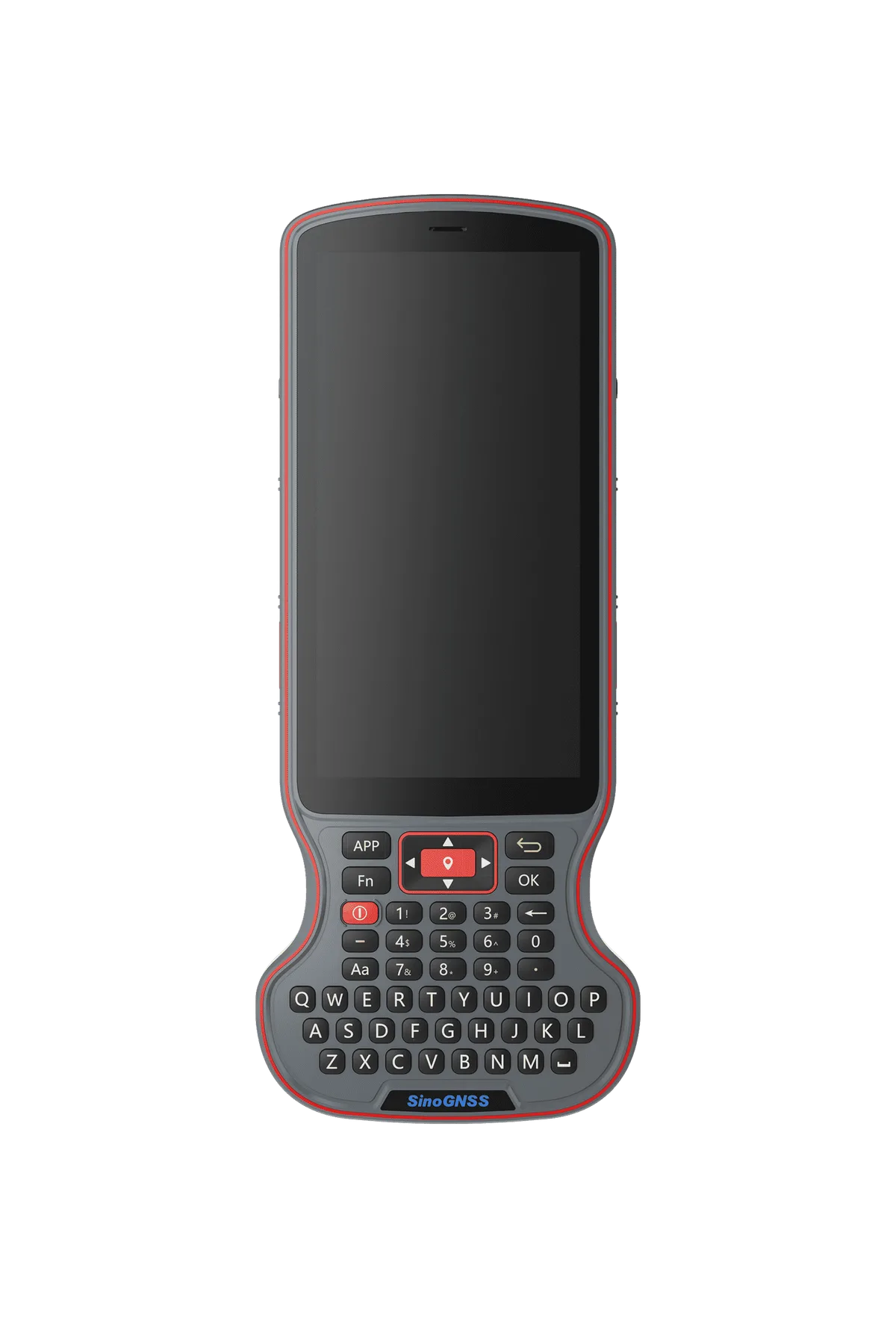
Overview. The ComNav T20 is a palm GNSS receiver from ComNav, designed for land survey, agriculture, machine control and GIS. It integrates the SinoGNSS K8 high-precision module and a third-generation inertial measurement unit (IMU).
Main characteristics. The receiver has 1590 channels and tracks GPS (L1C/A, L1C, L2P, L2C, L5), BDS (B1l, B2l, B3l, B1C, B2a, B2b), GLONASS (G1, G2, G3), Galileo (E1, E5a, E5b, E6c, E5 AltBOC), QZSS (L1C/A, L2C, L5, L1C), IRNSS (L5) and SBAS (L1C/A) signals. Cold start time is 45 s or less, RTK initialisation takes under 10 s with a reliability of at least 99.9%, and internal memory is 8 GB. The data update rate can reach 20 Hz.
Accuracy and tilt. With tilt compensation up to 120°, the T20 keeps 2.5 cm accuracy when surveying concealed or hard-to-reach points. The receiver is immune to magnetic disturbances. Specified RTK accuracy is 8 mm + 1 ppm RMS horizontal and 15 mm + 1 ppm RMS vertical.
Interfaces and connectivity. The T20 supports NFC for single-touch automatic connection and dual-mode Bluetooth 5.0. Position data is output in ASCII NMEA-0183 (GSV, RMC, HDT, GGA, GSA, ZDA, VTG, GST, PTNL PJK, PTNL AVR, PTNL GGK) and in ComNav binary.
Power and environment. The 10000 mAh lithium battery provides up to 12 hours of continuous operation. QC2.0 fast charging fully charges the unit in 5 hours. The magnesium-aluminium alloy housing measures 149 ± 1 mm in diameter and 48 ± 1 mm in height and weighs 670 g. It is rated IP67 against dust and water, operates from -30 °C to +65 °C and survives a 2 m drop onto concrete.
Typical uses. The T20 suits land survey, precision agriculture, machine guidance and control, and GIS data collection.