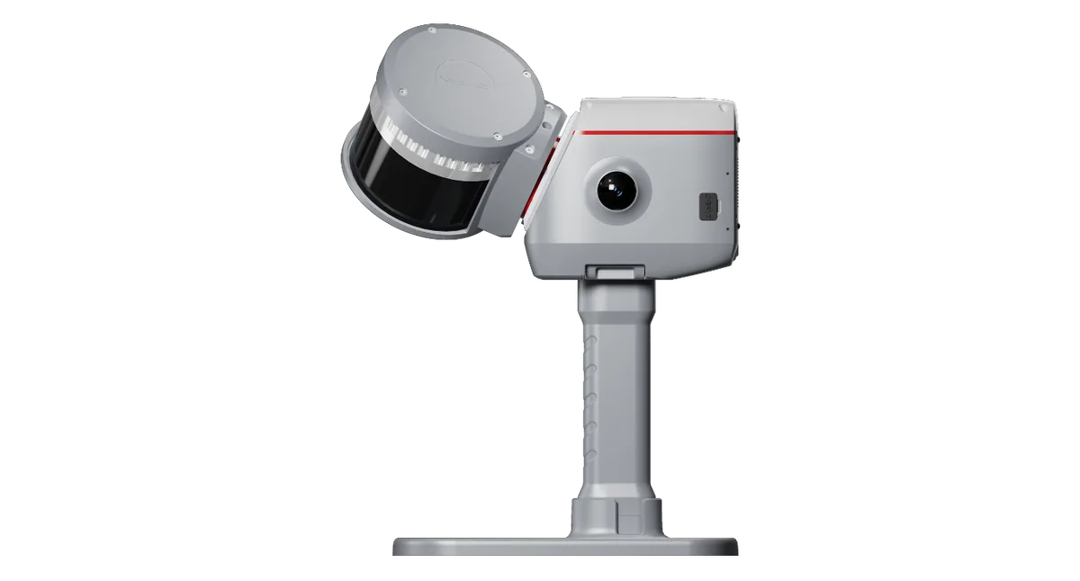
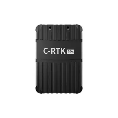
Overview. The ComNav LS600 is a handheld 3D laser scanner with SLAM and a built-in RTK module. It fuses LiDAR, IMU, camera and GNSS chip data to produce colored point clouds indoors and outdoors, in an industrial-grade aluminum housing.
Main characteristics. The LS600 offers a 16-line or 32-line LiDAR configuration, with a range of 0.5–120 m or 0.5–300 m depending on the configuration, and scan rates of 320,000 pts/s (16 lines) or 640,000 pts/s (32 lines). It is equipped with two 48 MP cameras with a 190°×190° field of view. Images are recorded in .jpg format and point clouds in .las format, with 512 GB expandable SSD storage.
Accuracy. Absolute vertical and horizontal accuracy is 3 cm (RMSE), RTK horizontal accuracy is 8 mm + 1 ppm (RMS) and RTK vertical accuracy is 15 mm + 1 ppm (RMS). Real-time relative accuracy is 2 cm (RMSE) and processed relative accuracy is 1 cm (RMSE).
Connectivity and constellations. The GNSS receiver tracks GPS (L1C/A, L1C, L2P, L2C, L5), GLONASS (L1, L2, L3), Galileo (E1, E5a, E5b, E6c, E5 AltBOC), BDS (B1I, B2I, B3I, B1C, B2a, B2b), QZSS, IRNSS (L5) and SBAS (L1C/A). The LS600 communicates via WIFI and Bluetooth.
Power and environment. It operates at 14.4 V with power consumption below 35 W, a 49.34 Wh battery giving a typical operating time of 1.5 hours, and IP54 protection. Its operating temperature range is –20 °C to +50 °C. It weighs 1.9 kg and its laser is Class 1 at 905 nm.
Typical uses. The LS600 suits topographic surveying, urban renewal, mining exploration and emergency response, with backpack and extension pole kits. ScanMaster (mobile) and RealEditor (PC) software cover acquisition and post-processing, and TurboCloud Enhance is supported.