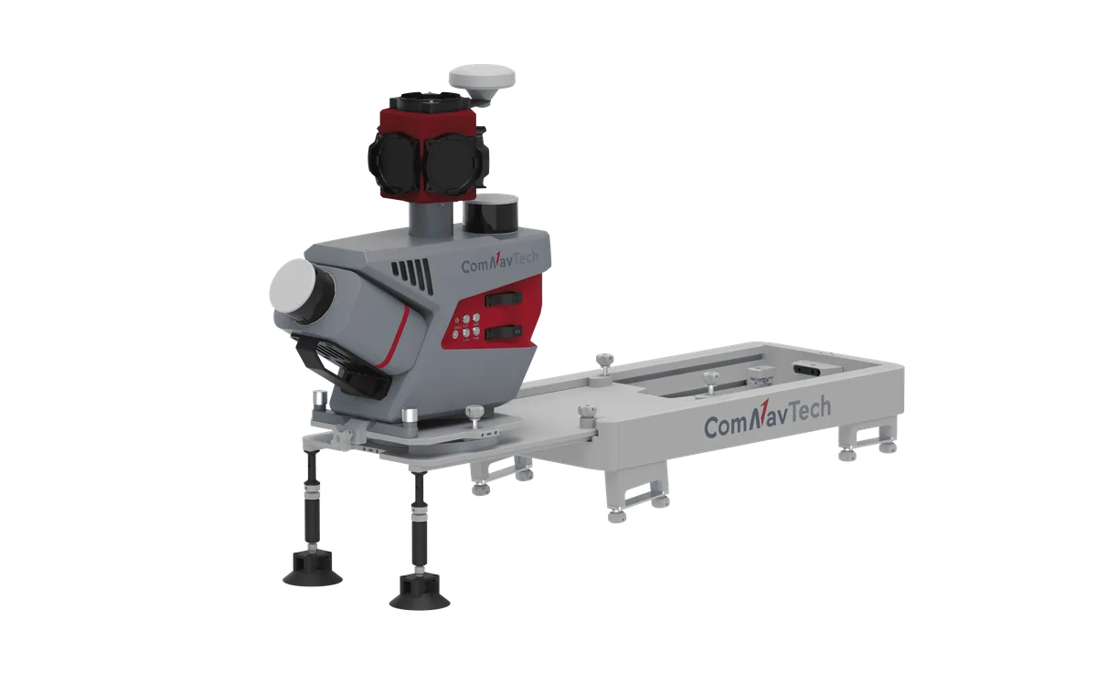
Overview. The ComNav ML300 is a mobile laser scanning (MLS) system combining two LiDAR sensors, one tilted at 30 degrees and one horizontal, with a Ladybug5+ panoramic camera for 3D mapping of roads and their surroundings.
Performance. Absolute accuracy ≤5 cm, relative accuracy ≤2 cm, IMU data frequency of 100 Hz, scan rate of 1,280,000 pts/s (dual return) and detection range of 0.5 to 300 m. The horizontal field of view is 360° and the vertical field of view is 40.3° (-20.8° to +19.5°). The camera provides an image resolution of 8192×4096 and 30 MP (5 MP×6 sensors).
GNSS and navigation. The system tracks GPS, BDS, GLONASS, Galileo, QZSS and SBAS signals and integrates IMU, DMI and LiDAR SLAM technologies to maintain 3D reconstruction when satellite signals are unavailable.
Installation. Quick-release design with seven predefined mounting angles (0°, ±15°, ±30°, ±45°). Optional sensors (pavement camera, front camera, DMI) are compatible.
Connectivity and data. Wi-Fi and Ethernet interfaces, LAN and ODO ports, point cloud formats LAS, LAZ and LiData, storage of 2×1 TB.
Power and environment. 24 V DC power input, typical consumption of 75 W and maximum of 125 W, operating time of at least 6 h on 6000 mAh batteries (×6). IP65 protection rating, operating temperature from -10 °C to 50 °C. Dimensions 508.5×263×531.5 mm, weight 14 kg.
Uses. Road infrastructure mapping, analysis of urban power distribution lines, urban forestry management and smart transportation applications, with LiDAR360MLS software for data processing.